
New Online Eruption Map by USGS Hawaiian Volcano Observatory
Discover the new online eruption map by USGS Hawaiian Volcano Observatory. Real-time updates on volcanic activity, enhancing safety and decision-making.

Discover the new online eruption map by USGS Hawaiian Volcano Observatory. Real-time updates on volcanic activity, enhancing safety and decision-making.
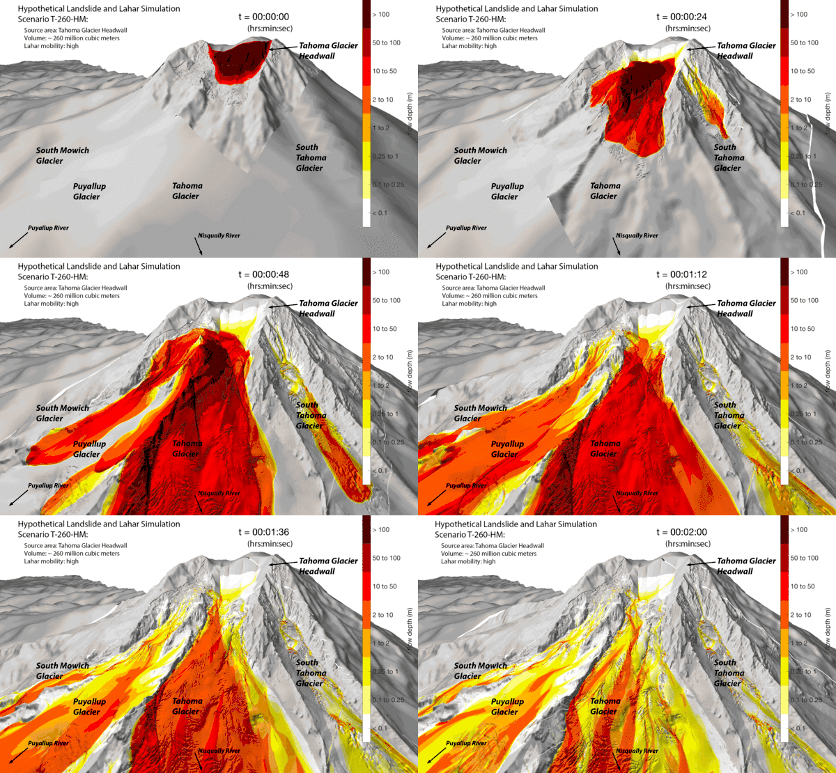
Enhancing community readiness near Mount Rainier through the world’s largest lahar evacuation drill. Over 45,000 students participated, emphasizing preparedness and collaboration for potential disasters. Find out why this event is significant for the region’s safety and resilience.
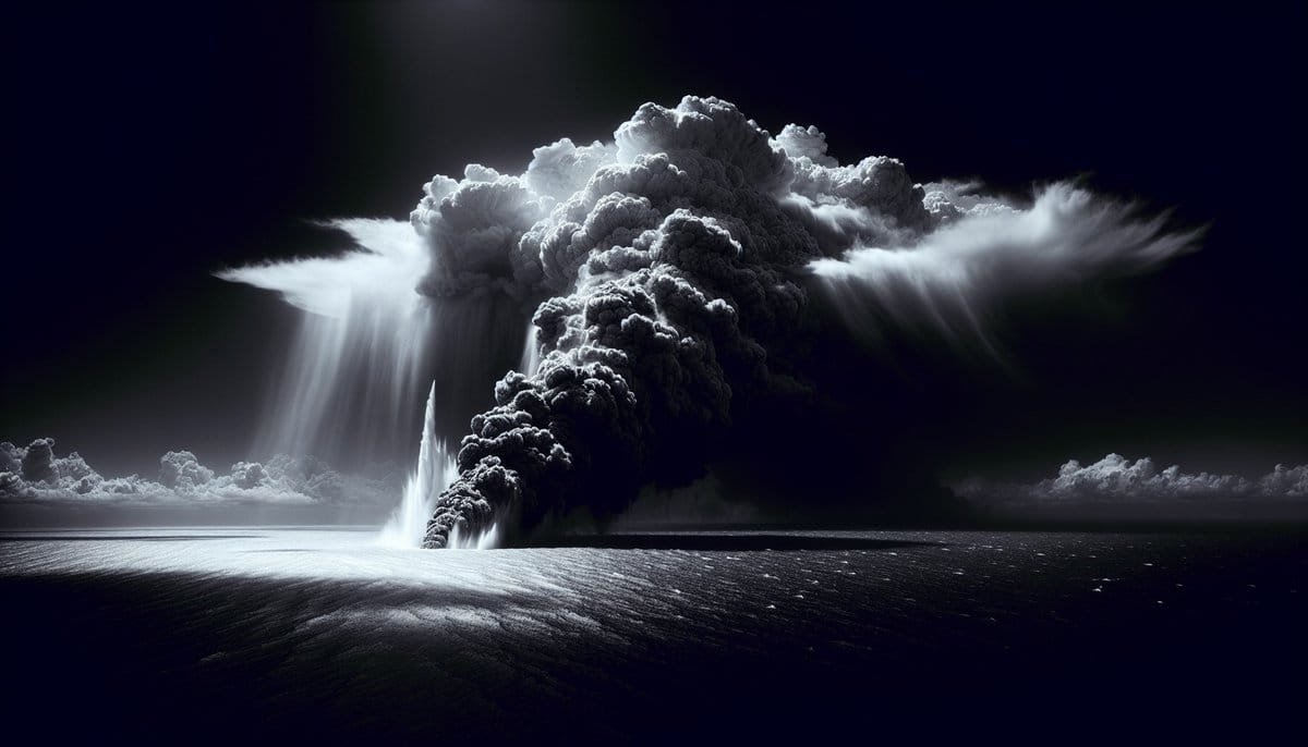
Uncovering the largest volcanic eruption in the Holocene: A seabed survey of the Kikai Caldera in Japan reveals unprecedented insights into its scale and impact. Explore its causes, environmental consequences, and human influences, along with the ongoing research and global implications.
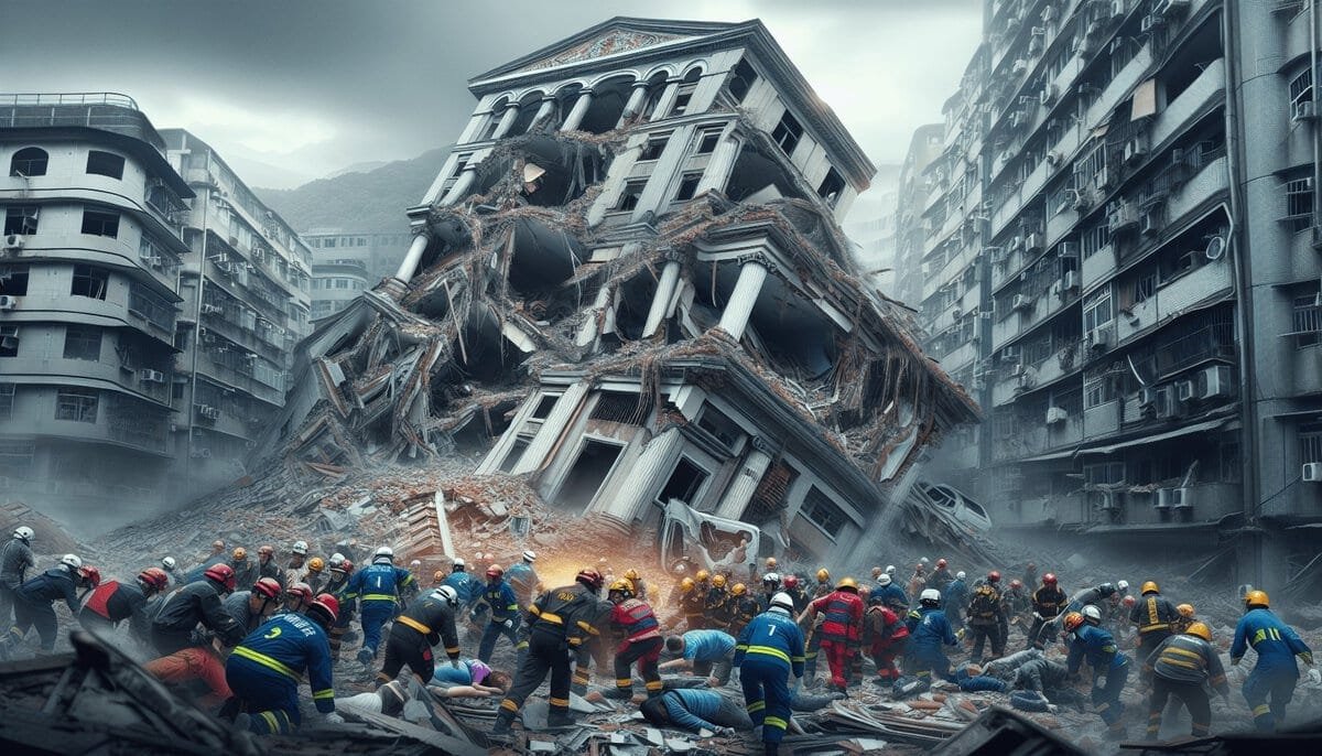
Strong quake and aftershocks rock Eastern Taiwan, causing widespread damage and casualties. Learn about the seismic event, its impacts, and future projections.
Uncover valuable insights for earthquake preparedness with an in-depth analysis of the USGS’s deployment of aftershock kits in Whitehouse Station, New Jersey. Gain an understanding of aftershocks, geological processes, and the role of the USGS in aftershock studies. Discover the components and functioning of the aftershock kits and how the recorded data is analyzed and utilized. Explore the magnitudes of recorded aftershocks and the implications for future seismic events.
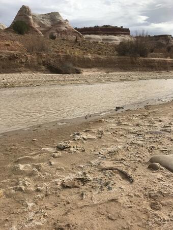
The recent study on climate and irrigation’s influence on water salinity in the Upper Colorado River Basin reveals significant findings and implications for water management. Decreased salinity levels are crucial for agriculture, drinking water, aquatic life, and infrastructure. The study emphasizes the need to understand climate change and irrigation’s impact on water quality and highlights ongoing efforts to reduce salinity in the region. Published by Environmental Research Letters, this study provides valuable insights for policymakers, water resource managers, and researchers in hydrology and environmental science.
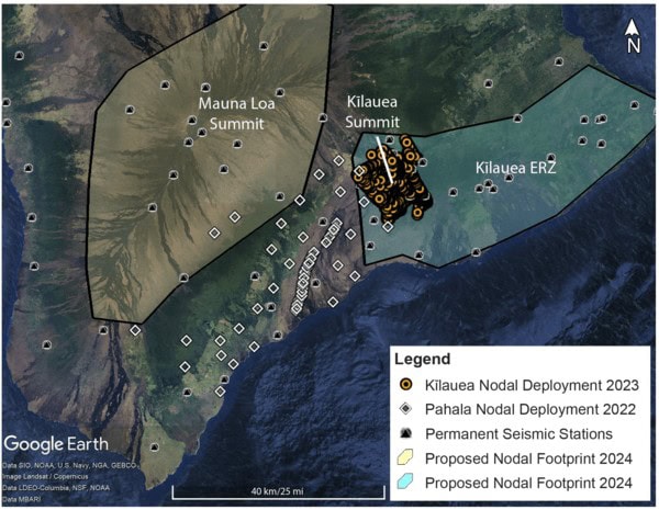
The Seismic Activity of Hawai‘i’s Volcanoes: Insights from HVO’s Monitoring Network provides a comprehensive overview of the monitoring efforts by HVO to study and assess seismic activity. Learn about the current status of volcanoes, impact on environment and communities, and future developments.
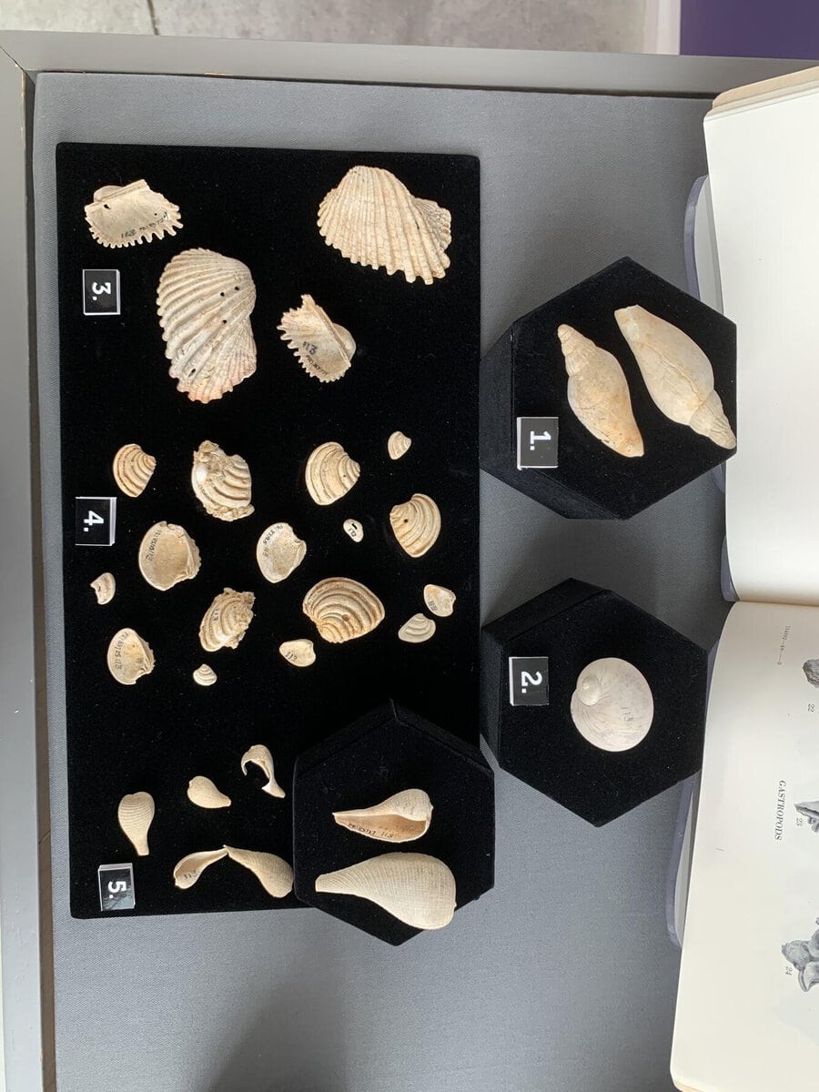
Discover the life and groundbreaking work of Julia Gardner, a pioneering women geologist. Explore her expertise on molluscs and stratigraphy, and her transformative impact on the oil and gas industry. Learn about her adventurous spirit and dedication to championing the next generation of scientists. Delve into the legacy of this trailblazing figure in the field of geology.

Discover essential tips and techniques for capturing stunning volcano landscapes. From understanding different types of volcanoes to choosing the right equipment and perfecting camera settings, this article will guide you in showcasing the awe-inspiring power and natural marvel of these geological wonders. Plan your visit, compose your shot, and capture varied perspectives to create captivating volcano photographs. Safely document erupting volcanoes and capture the beauty of smoke, ash, and lava flows. Start your journey into volcano photography today!

Discover the allure of Iceland’s volcanic landscapes, attracting tourists with their awe-inspiring beauty and raw power. Explore the unique terrain, famous eruptions, accessibility, safety precautions, cultural significance, environmental impact, scientific exploration, and recreational activities. Find out why Iceland’s volcanic landscapes continue to fascinate and draw travelers year after year.