
Understanding Volcanic Eruptions and their Historical Consequences
Discover the types, causes, and historical consequences of volcanic eruptions in this informational post. Learn about their impact on the environment, climate, and society.

Discover the types, causes, and historical consequences of volcanic eruptions in this informational post. Learn about their impact on the environment, climate, and society.
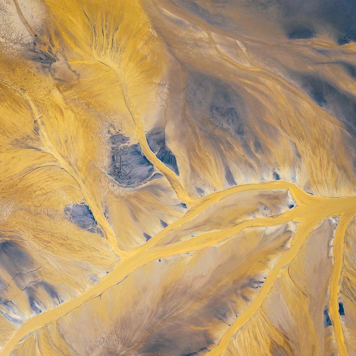
Analyzing the long-term impact of volcanic eruptions. Learn about the diverse eruption patterns, hazards, benefits, and environmental and socio-economic consequences.

Discover the evolution of volcanic studies throughout history, from ancient beliefs to modern scientific advancements. Learn more here.
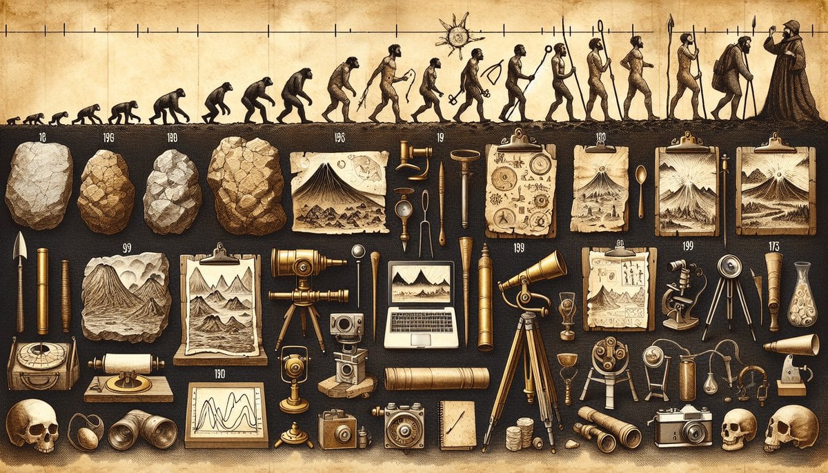
Discover the 10 best milestones in the evolution of volcanology. Explore ancient records, theories on volcanic activity, volcano classifications, and more.

Discover 7 tips for understanding volcano eruptions, from formation to types and eruption patterns. Gain a deeper understanding of these powerful natural wonders. Get ready for an exciting journey!

Discover the world of active volcanoes and the hazards they pose to communities. Learn about safety measures to ensure the well-being of those living nearby.
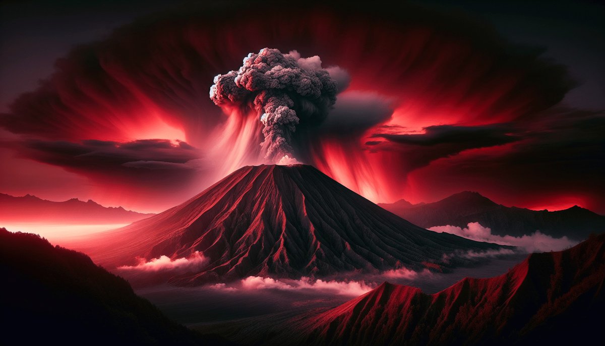
Discover the complexities of understanding volcanoes, predicting activity, and mitigating risks. Learn how to stay safe while exploring volcanic areas.
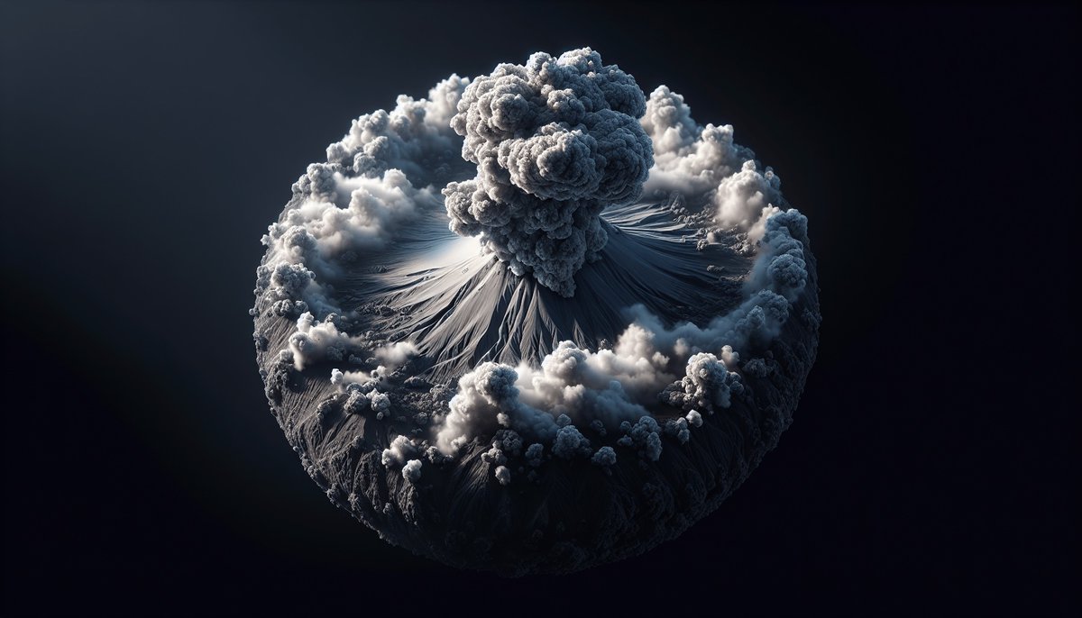
Discover the fascinating world of volcanoes with our comprehensive guide on remote sensing methods. Learn how scientists use remote sensing to predict volcanic activity and protect communities at risk. Whether you’re a volcanologist or simply curious about Earth’s wonders, this guide offers valuable insights and top tips. Embark on a captivating journey into the depths of these fiery giants!
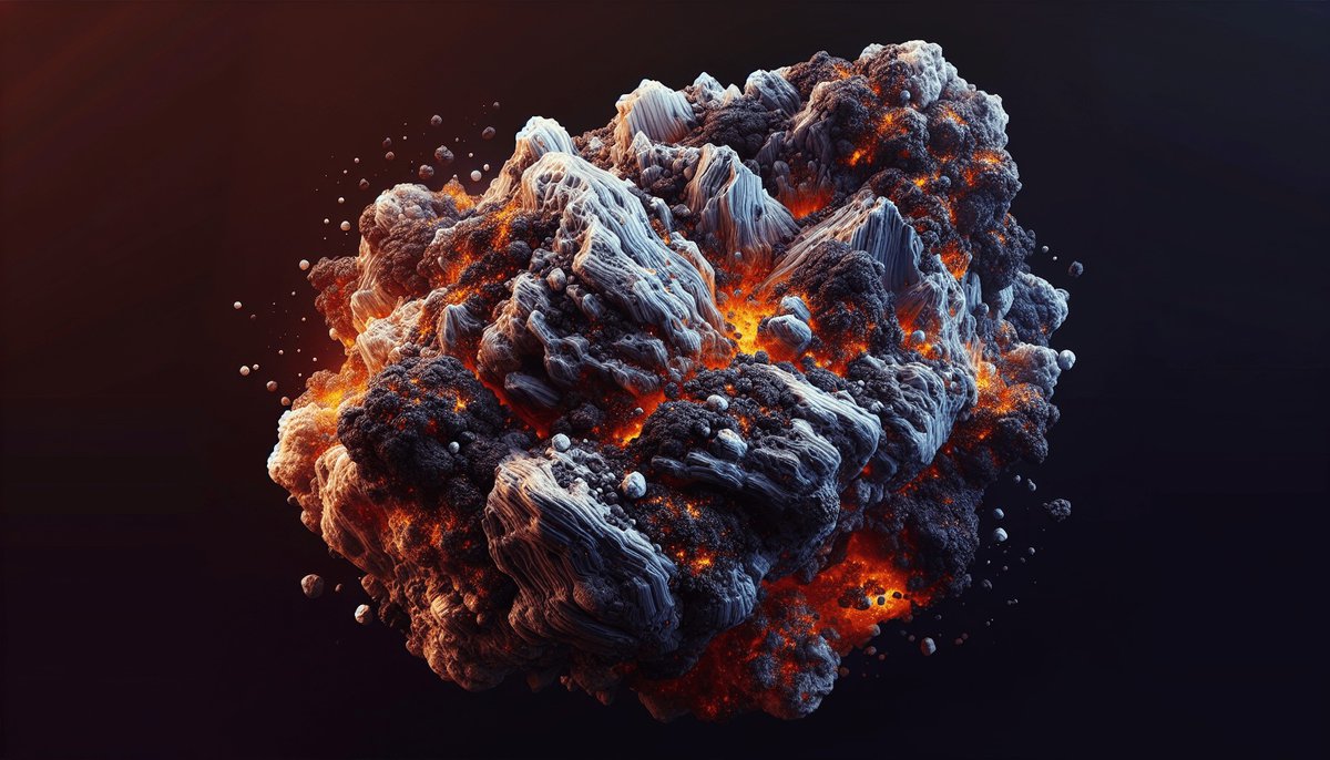
Discover 10 effective methods for studying volcanic activity, from seismic monitoring to gas emissions tracking and computer simulation modeling. Gain valuable insights into volcanic behavior and ensure the safety of those living in volcanic regions.
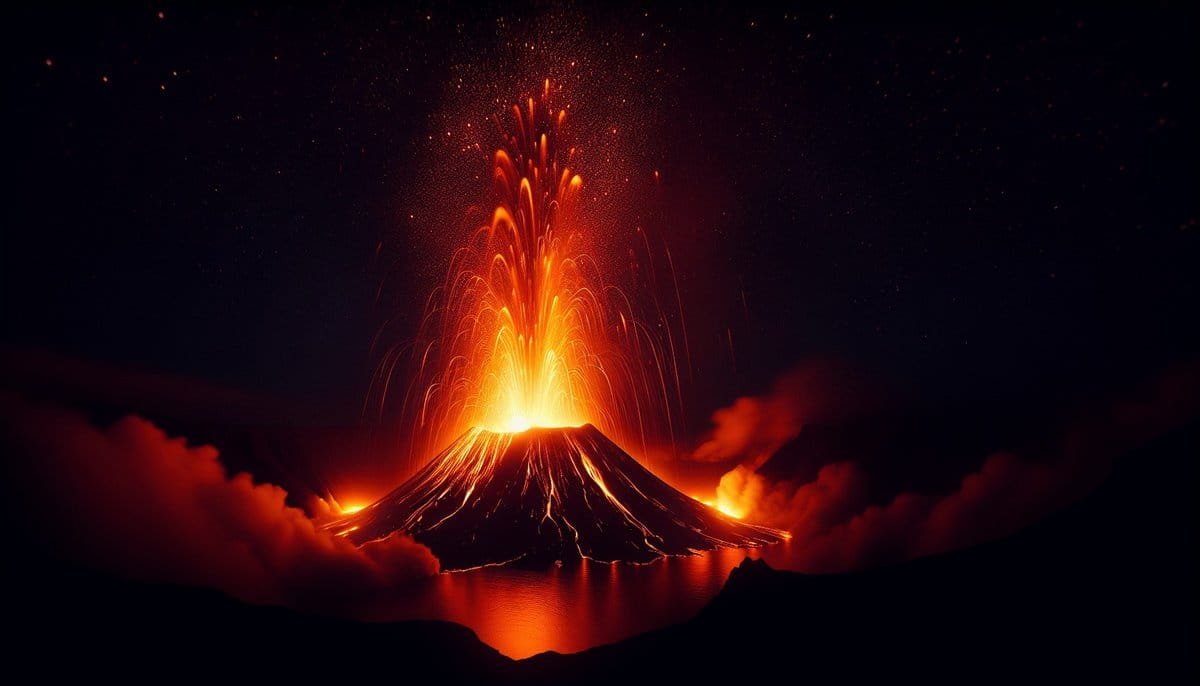
Learn how to identify different types of volcanic eruptions with these 7 essential tips. Understand the nature of volcanoes and their formation, analyze the characteristics of magma, recognize eruption styles and lava flows, and categorize eruptions based on the Volcanic Explosivity Index. Discover the various shapes and structures of volcanoes, learn about the materials ejected during eruptions, and detect volcanic hazards. Utilize typological databases and scientific methods to gain a deeper understanding of these fascinating natural phenomena.